Soubor:Territorial changes of the Ottoman Empire 1812.jpg

Velikost tohoto náhledu: 794 × 600 pixelů. Jiná rozlišení: 318 × 240 pixelů | 636 × 480 pixelů | 1 017 × 768 pixelů | 1 104 × 834 pixelů.
Původní soubor (1 104 × 834 pixelů, velikost souboru: 433 KB, MIME typ: image/jpeg)
| Tento soubor pochází z Wikimedia Commons. Níže jsou zobrazeny informace, které obsahuje jeho tamější stránka s popisem souboru. |

|
Tento obrázek (skupina historical map) by měl být vytvořen pomocí vektorové grafiky jako SVG soubor. To má několik výhod; podrobnosti najdete na stránce Commons:Media for cleanup. Je-li SVG verze tohoto obrázku již k dispozici, prosím nahrajte ji. Po nahrání nahraďte tuto šablonu šablonou {{Vector version available|jméno nového obrázku.svg}}.
|


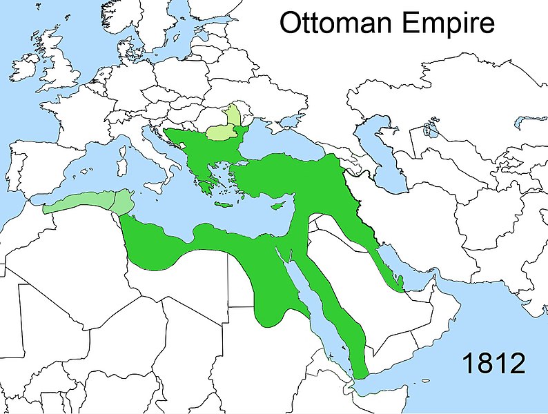
| Popis | Territorial changes of the Ottoman Empire |
| Datum | |
| Zdroj | Vlastní dílo |
| Autor | Esemono |
| Svolení (Užití tohoto souboru) |
Own work, all rights released (Public domain) |
| Další verze | Díla odvozená od tohoto souboru: Territorial changes of the Ottoman Empire c1812-ca.JPG |

| Já, autor tohoto díla, jej tímto uvolňuji jako volné dílo, a to celosvětově. V některých zemích to není podle zákona možné; v takovém případě: Poskytuji komukoli právo užívat toto dílo za libovolným účelem, a to bezpodmínečně s výjimkou podmínek vyžadovaných zákonem. |
Historie souboru
Kliknutím na datum a čas se zobrazí tehdejší verze souboru.
| Datum a čas | Náhled | Rozměry | Uživatel | Komentář | |
|---|---|---|---|---|---|
| současná | 18. 2. 2020, 02:02 | | 1 104 × 834 (433 KB) | Claude Zygiel | Other mistakes corrected |
| 28. 12. 2014, 23:45 |  | 1 104 × 834 (412 KB) | HistoryofIran | Corrected map; these regions were under Iranian control until it was conquered by the Russians in 1813 and 1828. | |
| 23. 4. 2009, 14:47 |  | 1 104 × 834 (412 KB) | Esemono | {{Information |Description=Territorial changes of the Ottoman Empire |Source=Self made |Date=April, 2009 |Author=Esemono |Permission=Own work, all rights released (Public domain) |other_versions= }} {{PD-self}} [[Category:Maps of the B |
Využití souboru
Tento soubor používá následující stránka:
Globální využití souboru
Tento soubor využívají následující wiki:
- Využití na az.wikipedia.org
- Využití na en.wikipedia.org
- Využití na fr.wikipedia.org
- Využití na hr.wikipedia.org
- Využití na ka.wikipedia.org
- Využití na pt.wikipedia.org
- Využití na ru.wikipedia.org
- Využití na sh.wikipedia.org
- Využití na sr.wikipedia.org
- Využití na sr.wiktionary.org
- Využití na tr.wikipedia.org
- Využití na xmf.wikipedia.org