Soubor:Bautzen.png
Velikost tohoto náhledu: 696 × 599 pixelů. Jiná rozlišení: 279 × 240 pixelů | 558 × 480 pixelů | 892 × 768 pixelů | 1 200 × 1 033 pixelů.
Původní soubor (1 200 × 1 033 pixelů, velikost souboru: 494 KB, MIME typ: image/png)
| Tento soubor pochází z Wikimedia Commons. Níže jsou zobrazeny informace, které obsahuje jeho tamější stránka s popisem souboru. |
Popis
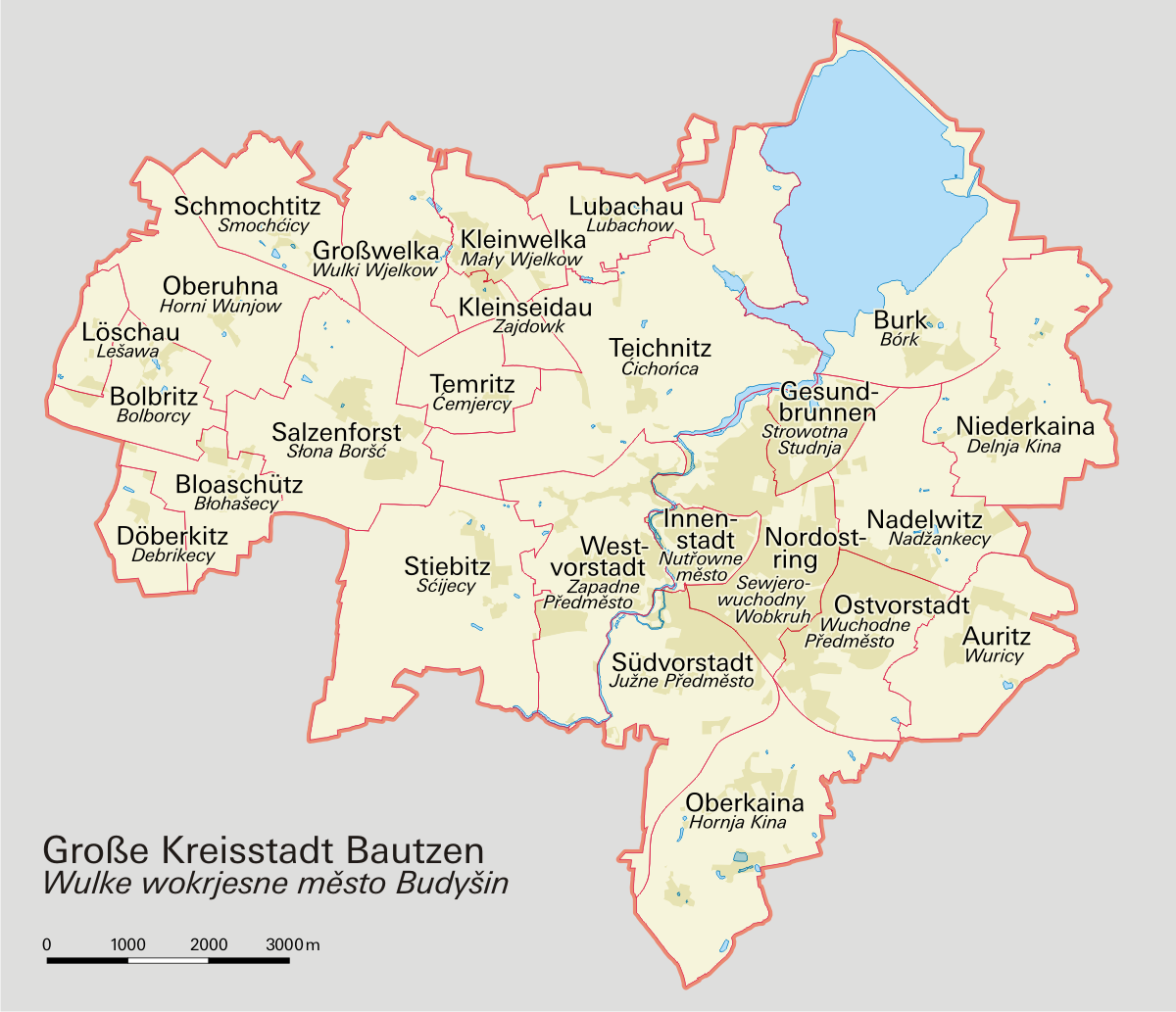
| Popis | Stadtteile Bautzens |
| Datum | |
| Zdroj | own work, based on a map by Stadtverwaltung Bautzen |
| Autor | Philip Schäfer |
| Svolení (Užití tohoto souboru) |
GNU Free Documentation License |
Licence

|
Tento dokument smí být kopírován, šířen nebo upravován podle podmínek Svobodné licence GNU pro dokumenty verze 1.2 nebo libovolné vyšší verze publikované nadací Free Software Foundation. Dokument nemá neměnné části ani texty na předním či zadním přebalu. Kopie textu licence je k dispozici v oddíle nazvaném GNU Free Documentation License. |
| Tento soubor podléhá licenci Creative Commons Uveďte autora-Zachovejte licenci 3.0 Unported | ||
| ||
| Tato licenční šablona byla k tomuto souboru přidána v rámci změny licencování. |
Historie souboru
Kliknutím na datum a čas se zobrazí tehdejší verze souboru.
| Datum a čas | Náhled | Rozměry | Uživatel | Komentář | |
|---|---|---|---|---|---|
| současná | 12. 2. 2008, 23:09 | | 1 200 × 1 033 (494 KB) | Greyowl~commonswiki | == Beschreibung == {{Information |Description=Stadtteile Bautzens |Source=own work, based on a map by Stadtverwaltung Bautzen |Date=11 Feb 2008 |Author=Philip Schäfer |Permission=GNU Free Documentation License |other_versions= }} [[Category:Maps of Bau |
| 12. 2. 2008, 23:03 |  | 1 200 × 1 033 (494 KB) | Greyowl~commonswiki | == Beschreibung == {{Information |Description=Stadtteile Bautzens |Source=own work, based on a map by Stadtverwaltung Bautzen |Date=11 Feb 2008 |Author=Philip Schäfer |Permission=GNU Free Documentation License |other_versions= }} [[Category:Maps of Bau | |
| 12. 2. 2008, 22:55 |  | 1 200 × 1 033 (494 KB) | Greyowl~commonswiki | == Beschreibung == {{Information |Description=Stadtteile Bautzens |Source=own work, based on a map by Stadtverwaltung Bautzen |Date=11 Feb 2008 |Author=Philip Schäfer |Permission=GNU Free Documentation License |other_versions= }} [[Category:Maps of Bau | |
| 12. 2. 2008, 22:50 |  | 1 200 × 1 033 (494 KB) | Greyowl~commonswiki | == Beschreibung == {{Information |Description=Stadtteile Bautzens |Source=own work, based on a map by Stadtverwaltung Bautzen |Date=11 Feb 2008 |Author=Philip Schäfer |Permission=GNU Free Documentation License |other_versions= }} [[Category:Maps of Bau | |
| 12. 2. 2008, 22:49 |  | 1 200 × 1 033 (494 KB) | Greyowl~commonswiki | == Beschreibung == {{Information |Description=Stadtteile Bautzens |Source=own work, based on a map by Stadtverwaltung Bautzen |Date=11 Feb 2008 |Author=Philip Schäfer |Permission=GNU Free Documentation License |other_versions= }} [[Category:Maps of Bau | |
| 12. 2. 2008, 22:45 |  | 1 200 × 1 033 (494 KB) | Greyowl~commonswiki | == Beschreibung == {{Information |Description=Stadtteile Bautzens |Source=own work, based on a map by Stadtverwaltung Bautzen |Date=11 Feb 2008 |Author=Philip Schäfer |Permission=GNU Free Documentation License |other_versions= }} [[Category:Maps of Bau | |
| 11. 2. 2008, 17:39 |  | 1 200 × 1 033 (445 KB) | Greyowl~commonswiki | == Beschreibung == {{Information |Description=Stadtteile Bautzens |Source=own work, based on a map by Stadtverwaltung Bautzen |Date=11 Feb 2008 |Author=Philip Schäfer |Permission=GNU Free Documentation License |other_versions= }} [[Category:Maps of Bau | |
| 11. 2. 2008, 02:28 |  | 1 200 × 848 (327 KB) | Greyowl~commonswiki | {{Information |Description=Stadtteile Bautzens |Source=own work |Date=11 Feb 2008 |Author=Philip Schäfer |Permission=GNU Free Documentation License |other_versions= }} |
Využití souboru
Tento soubor používá následující stránka:
Globální využití souboru
Tento soubor využívají následující wiki:
- Využití na an.wikipedia.org
- Využití na ca.wikipedia.org
- Využití na da.wikipedia.org
- Využití na de.wikipedia.org
- Využití na dsb.wikipedia.org
- Využití na en.wikipedia.org
- Využití na es.wikipedia.org
- Využití na gd.wikipedia.org
- Využití na hsb.wikipedia.org
- Využití na ko.wikipedia.org
- Využití na mk.wikipedia.org
- Využití na ru.wikipedia.org
- Využití na tt.wikipedia.org
- Využití na www.wikidata.org